


About

Getting Around
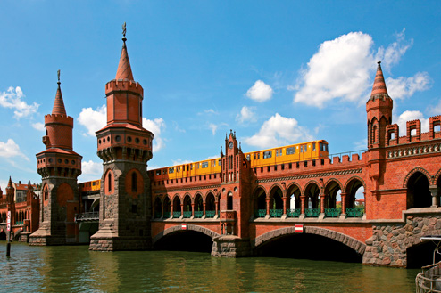
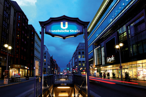
Getting around Berlin is surprisingly easy. The most obvious option is the excellent public transport system comprised of underground (U-Bahn) and elevated (S-Bahn) trains, buses and trams. Driving a car is less of a hassle than in many big cities, but Berlin is also a great town for riding a bicycle or simply walking on foot – half of its households get by without their own car.
Berlin’s extensive waterways are primarily used for sightseeing, shipping cargo, and recreation, but there are a few limited ferry lines for daily transportation. The city estimates on any given day some 38% of all trips in Berlin are done by car, 27% by public transport and 35% on foot or using a bicycle. The BVG, as the local public transportation network is known, has an extensive website with maps and an interactive journey planner (www.bvg.de).
The 40 year division of Berlin has given it an unusual layout, with several urban clusters. There is a major east-west axis of roads and rail lines running through the heart of the city, which is largely defined by the Tiergarten.
There are two transport arteries circling the entire metropolitan area: the inner S-Bahn ring and the A10 motorway further out. There is also a major Autobahn link along the western side of town that connects the northern A111 route with the A115 to Potsdam.
Since German reunification, Berlin has invested heavily in its infrastructure. Along with an extra 182 kilometres of track laid for the tram, U-Bahn, S-Bahn and regional rail, Berlin has gained 170 kilometres of new roads over the past two decades. The new central train station that opened in 2006 is now the hub of an east-west and north-south railway axis that has improved high-speed train connections with other German cities and the rest of Europe. The one weak spot is air travel. This will hopefully change when the new Berlin-Brandenburg International airport opens in 2011.


